Natural Earth · rivers and lake centerlines
The original five named river features used in the unfolding comparison and opening tour. Public-domain centerline geometry.
Natural Earth · public-domain terms
The source geometry may be reused and adapted.
HydroRIVERS v1 · WWF / HydroSHEDS
Lehner, B. and Grill, G. (2013), Global river hydrography and network routing, Hydrological Processes 27: 2171–2186, doi:10.1002/hyp.9740. Derived from HydroSHEDS © World Wildlife Fund, Inc. (2006–2022); all rights reserved. Basin filtering, chain merging and simplification by Atlas.
HydroSHEDS license and terms
This product, Atlas Storymaps: The long way to the sea, incorporates data from the HydroSHEDS version 1 database which is © World Wildlife Fund, Inc. (2006–2022) and has been used herein under license. WWF has not evaluated the data as altered and incorporated within Atlas Storymaps: The long way to the sea, and therefore gives no warranty regarding its accuracy, completeness, currency or suitability for any particular purpose. Portions of the HydroSHEDS v1 database incorporate data which are the intellectual property rights of © USGS (2006–2008), NASA (2000–2005), ESRI (1992–1998), CIAT (2004–2006), UNEP-WCMC (1993), WWF (2004), Commonwealth of Australia (2007), and Her Royal Majesty and the British Crown and are used under license. The HydroSHEDS v1 database and more information are available at https://www.hydrosheds.org.
ICPDR · Danube River Basin
Background on Danube tributaries and delta branches.
Mekong River Commission · Geography
Background on the Mekong basin, 3S tributaries and delta.
FAO · Ganges–Brahmaputra–Meghna river basin
Background on the shared delta and river confluences.
The river remembers
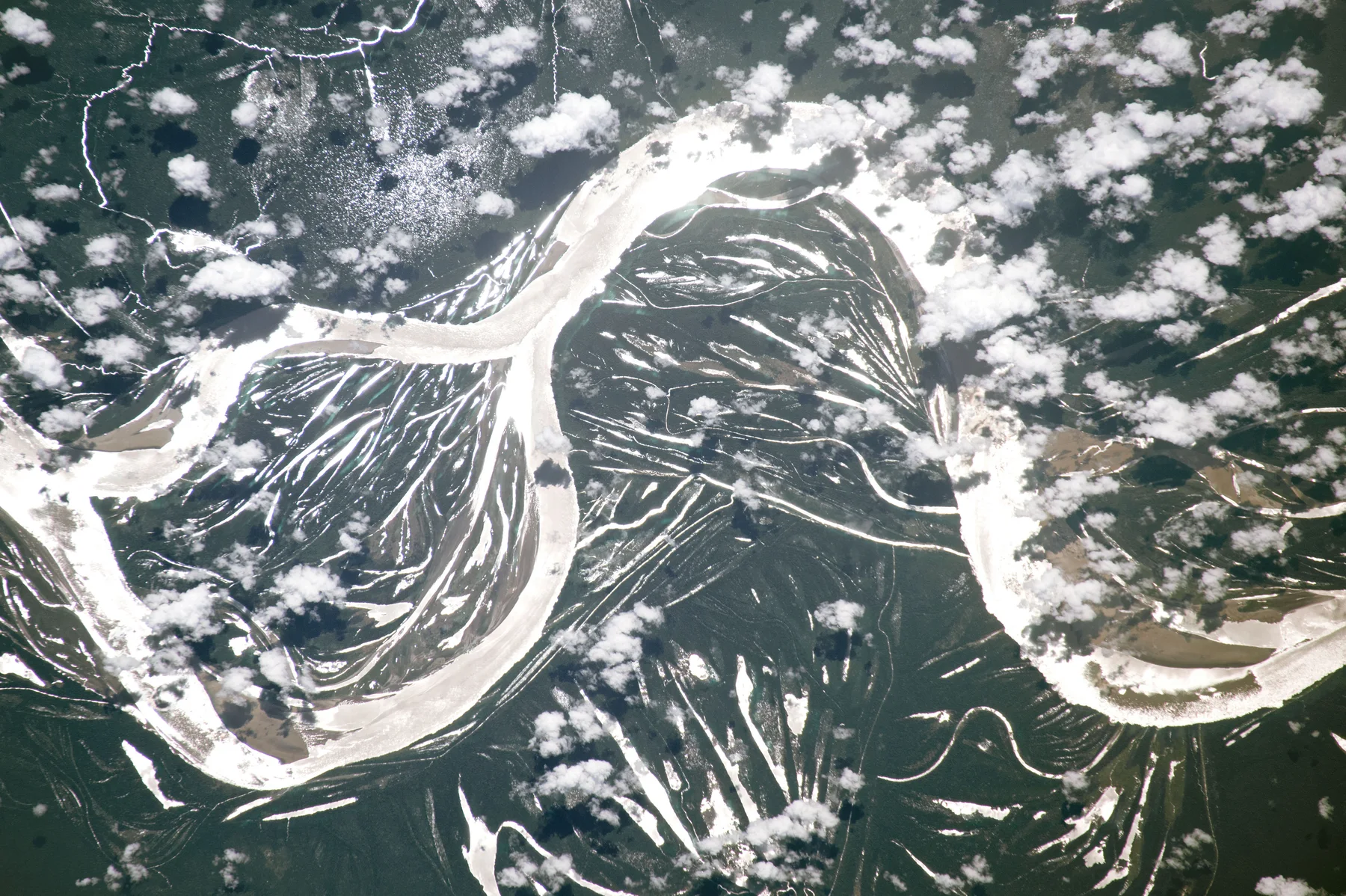
NASA / ISS Expedition 52 · ISS052-E-39523 · 9 August 2017
Listen closer
National Park Service · recorded at Muir Woods, California · no claim to original U.S. Government works
How this edition was made
The original Natural Earth comparison geometry is unchanged. Network scenes use HydroRIVERS v1, selected by MAIN_RIV and ORD_CLAS 1–3. Order 1 is the dataset backbone, not necessarily one named river. Tributary reaches require upstream areas of 25,000 km² (Amazon), 2,000 km² (Danube), or 5,000 km² (Nile, Mekong and the shared Ganges–Brahmaputra basin). NEXT_DOWN closure and endpoint agreement are checked before merging chains and simplifying at 0.01 degrees; retained confluences are preserved and coordinates rounded to five decimal places. Grouped map features retain classical order, basin ID and reach count. The one-downstream-link model does not describe every delta distributary or tidal channel. HydroRIVERS is used under the HydroSHEDS license; obtain its source data from the official product page. The story download contains only the five public-domain Natural Earth comparison features. The unfolding comparison measures the longest connected part of each named river on a sphere of radius 6371.0088 km; disconnected parts are not joined. Geometry is resampled only for display. The straightened state shares a distance scale; the geographic state fits each river independently. This is not a flow or discharge model.
Data retrieved 2026-09-13. Native maps and original narrative by Atlas Storymaps. Source data: Natural Earth · HydroRIVERS. Natural Earth and USGS-produced source data are public domain. Basemap and terrain providers are credited on each map.